Upland
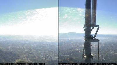
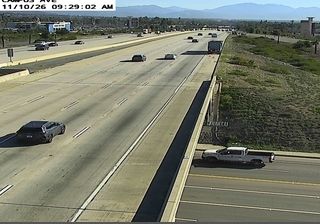
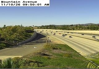
The terrain around Upland is an alluvial plain beneath the San Gabriel Mountains, which has shaped both the city’s street pattern and its local economy. Citrus groves once defined much of this foothill community, and their legacy survives along the broad, tree-lined Euclid Avenue corridor. To the south, Foothill Boulevard follows part of historic Route 66, connecting Upland to the wider story of Southern California road travel. Downtown combines early-20th-century commercial buildings with independent shops and restaurants, while the mountain front remains a defining presence. Browse other webcams across Southern California to place Upland’s foothill setting in a wider geographic context. Generated by AI
7 webcams


Featured webcams




Popular webcams
Recently added webcams
Explore other webcams in Upland