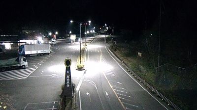
Anan
The Tenryū River defines the setting of Anan — its valley and surrounding wooded slopes concentrate settlement and farmland in southern Nagano Prefecture. The town lies in Shimoina District, close to Nagano’s border with Aichi Prefecture and far south of the alpine basins often associated with the prefecture. Anan belongs to the wider Iida–Shimoina area, where farming, forests and the changing seasons continue to shape local life. Valley roads connect it with Iida and the mountain country towards Mikawa, marking a transition between inland Shinshū and eastern Aichi. Browse other webcams across southern Nagano Prefecture to place this river-valley town in a wider geographic context. Generated by AI
2 webcams