El Hongo
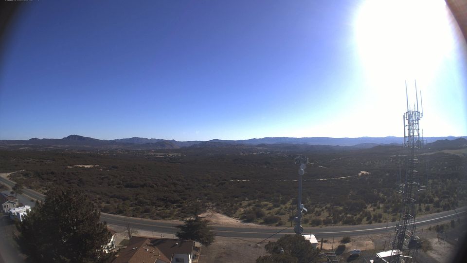
Few places in Baja California have a history as closely tied to the road corridor between Tecate and Mexicali as El Hongo. This small inland settlement lies beside Federal Highway 2, in the rugged foothills of the Sierra de Juárez, far from the Pacific coast and the state’s larger urban centres. Its setting reflects the dry, elevated terrain of northern Baja California, where roads cross ranch country and mountain passes toward the Colorado Desert. The surrounding Tecate region is part of the wider ancestral homeland of the Kumeyaay people, whose communities span both sides of the Mexico–United States border. Continue with other webcams from the area to see how this part of Baja California connects regionally. Generated by AI

Featured webcams
Popular webcams
Recently added webcams
Explore other webcams in El Hongo