Haugastøl
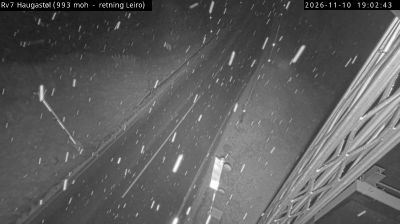
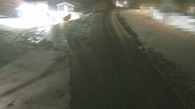
Built around a station on the Bergen Line, Haugastøl grew into a high-mountain settlement on the northern edge of the Hardangervidda plateau. At about 988 metres above sea level, it sits in a broad, treeless upland shaped by long winters, snowfields and open moorland rather than an urban centre. The Bergen Line, completed across the mountains in 1909, made this isolated terrain accessible by rail. Haugastøl is also the customary starting point for Rallarvegen, the former railway construction road that runs west towards Flåm and is now a celebrated cycling route in summer. Find related webcams across Hardangervidda and along the Bergen Line to build a fuller picture of mountain Norway. Generated by AI
2 webcams