Topley
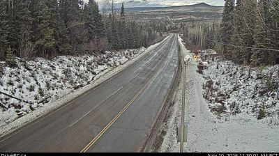
Among the communities of British Columbia, Topley stands out for its position on the Yellowhead Highway and the Canadian National Railway route through the province’s northern Interior. In the Bulkley-Nechako Regional District, it lies between Burns Lake and Houston amid the forested uplands of the Nechako Plateau. Nearby Topley Lake is part of the region’s lake-dotted interior terrain. Rail and road links have long shaped Topley as a small service and transit settlement in this broad, sparsely populated part of Canada. Move on to other webcams in northern British Columbia to compare landscapes and settings around the Bulkley-Nechako region. Generated by AI
2 webcams


Featured webcams

Popular webcams
Recently added webcams