Barwick
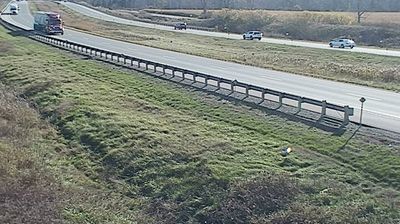
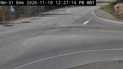
Tucked into the agricultural lowlands of northwestern Ontario’s Rainy River District, Barwick is a place whose character is shaped by fertile valley soils, broad skies and a continental climate. The community is part of Chapple Township, a rural municipality where fields and shelterbelts meet boreal forest. South of town, the Rainy River forms part of the Canada–United States boundary and runs from Rainy Lake to Lake of the Woods. Highway 11 links Barwick with other district communities, while the Barwick Blueberry Festival is a seasonal local tradition. Explore further webcams in northwestern Ontario to compare landscapes and settings around the Rainy River District. Generated by AI
3 webcams


Featured webcams

Popular webcams
Recently added webcams