Bukit Beruntung
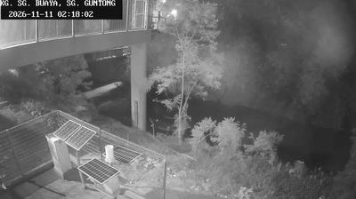
Among the towns of Selangor, Bukit Beruntung stands out for its location beside the North–South Expressway in the state’s inland lowlands. The township lies north of Kuala Lumpur, where development, plantation country and forested terrain meet on the western side of Peninsular Malaysia. The Titiwangsa Range rises farther east, forming the mountainous spine of the peninsula. Its Malay name means “Fortunate Hill,” a direct reference to the local landscape and language. Bukit Beruntung is closely connected to neighbouring Rawang and to road routes linking Selangor with northern Malaysia. Move on to other webcams in Selangor to compare landscapes and settings around Bukit Beruntung. Generated by AI
1 webcam


Featured webcams
Popular webcams
Recently added webcams
Explore other webcams in Bukit Beruntung