Brandon
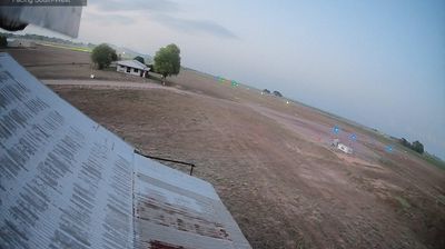
Brandon lies along the broad Burdekin River floodplain, a low-lying tropical farming district where sugarcane fields stretch toward the Coral Sea coast. The town is part of the Burdekin region, one of Australia’s major cane-growing areas, and its landscape is shaped by cultivation, irrigation and the seasonal wet. Pioneer Mill in Brandon reflects the industry’s long-standing role in local life, while nearby Ayr provides the district’s principal services and shopping streets. The surrounding plain has an open, practical character, with cane rail lines and rural roads linking farms to the mills. Move on to other webcams in the Burdekin region to compare landscapes and settings around Brandon. Generated by AI
2 webcams


Featured webcams

Popular webcams
Recently added webcams
Explore other webcams in Brandon