Llanfihangel Rogiet
Llanfihangel Rogiet lies along the low-lying Caldicot Levels near the Severn Estuary, where farmland and drainage channels extend across reclaimed wetlands between the Wye and Usk. This part of southeastern Wales forms part of the wider Gwent Levels, a historic coastal plain shaped by tides, embankments and the network of watercourses known locally as reens. The Welsh place name means “St Michael’s church”, preserving the parish’s religious origin. Explore additional webcams nearby to understand how Llanfihangel Rogiet connects with the Severn Estuary and the Gwent Levels. Generated by AI
1 webcam
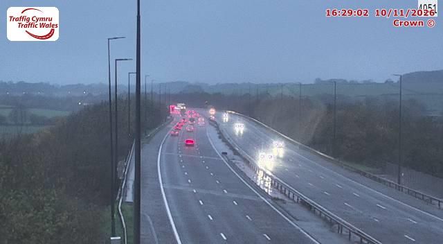

Featured webcams
Popular webcams
Recently added webcams
Explore other webcams in Llanfihangel Rogiet