Haywards
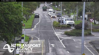
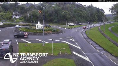
The Hutt River defines the setting of Haywards — its valley forms a major north–south corridor between Lower Hutt and Upper Hutt, with wooded hills rising close on either side. This small Wellington-region locality sits beside State Highway 2 and the road over Haywards Hill toward Wainuiomata, making it more a crossroads than a conventional town centre. Belmont Regional Park occupies the western side of the valley, bringing forested slopes and walking tracks close to the wider metropolitan area. The river, also known as Te Awa Kairangi, has long been central to Māori life and to the later development of the Hutt Valley. Browse additional webcams from the Hutt Valley and Wellington Region to extend your view of this part of New Zealand. Generated by AI


Recently added webcams
Explore other webcams in Haywards