Tête Jaune Cache
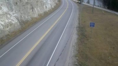
Tête Jaune Cache straddles the confluence of the Fraser and McLennan rivers in eastern British Columbia, a position that made it a natural stopping point on routes through the Rocky Mountain Trench. The settlement sits near the meeting of Highway 16 and Highway 5, with Mount Robson Provincial Park to the east along the Yellowhead corridor. Its name recalls Pierre Bostonais, the Iroquois-Métis fur trader and guide called Tête Jaune, or “Yellow Head,” whose name became attached to this stretch of the upper Fraser. Forest, broad river flats and the mountain ranges of the Canadian Cordillera shape the surrounding country. Move on to other webcams in British Columbia to compare river valleys and mountain settings around Tête Jaune Cache. Generated by AI
1 webcam


Featured webcams
Popular webcams
Recently added webcams
Explore other webcams in Tête Jaune Cache