Bolingbroke
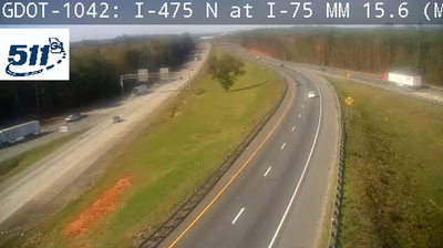
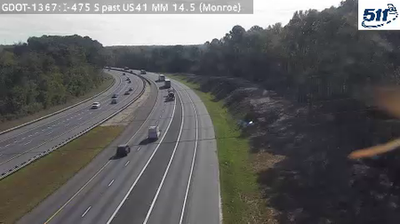
The landscape around Bolingbroke consists of the rolling, pine-and-hardwood uplands of Georgia’s Piedmont, which have shaped its dispersed settlement pattern and local economy. This unincorporated Monroe County community sits near Interstate 75, on the northern fringe of the Macon area, where rural roads, homes and small businesses meet one of the state’s principal north–south routes. The Ocmulgee River flows east of Bolingbroke and forms part of the river system defining central Georgia. Monroe County also contains Jarrell Plantation Historic Site, preserving an 1847 plantation house and farm buildings. Find related webcams in the surrounding area to build a fuller picture of Bolingbroke and central Georgia. Generated by AI
2 webcams


Featured webcams
Popular webcams
Recently added webcams
Explore other webcams in Bolingbroke