Roselawn
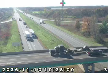
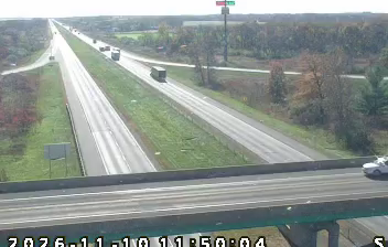
Few communities in Indiana have a history as closely tied to the 1994 crash of American Eagle Flight 4184 as Roselawn. The ATR 72 went down near this unincorporated Newton County community on 31 October, killing all 68 people aboard; the accident became a major event in the study of aircraft icing. Roselawn lies in the level farm country of northwest Indiana, near the Kankakee River and the former Grand Kankakee Marsh, a vast wetland largely drained for agriculture in the late 19th and early 20th centuries. Interstate 65 runs through the area, linking it to the Chicago–Indianapolis corridor. View additional webcams nearby to better understand how Roselawn relates to northwest Indiana’s wider landscape. Generated by AI
1 webcam

Featured webcams
Popular webcams
Recently added webcams
Explore other webcams in Roselawn