Purple Sage
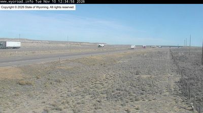
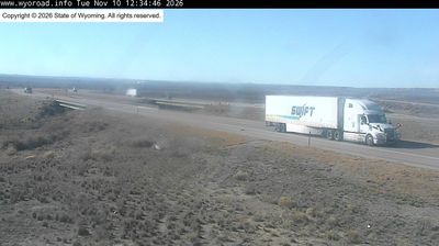
Purple Sage combines residential calm with the wide, wind-exposed terrain of Wyoming’s high desert in a way that reflects its position in the Green River Basin near Rock Springs. This part of Sweetwater County is defined by sagebrush flats, low treeless ridges and long distances between settlements. Rock Springs developed through coal mining and the Union Pacific Railroad, an industrial legacy that remains important to southwestern Wyoming’s identity. Interstate 80 is the principal east–west route across the basin. View additional webcams nearby to better understand how Purple Sage relates to the Green River Basin and southwestern Wyoming. Generated by AI
3 webcams


Featured webcams
Popular webcams
Recently added webcams
Explore other webcams in Purple Sage