Shingle Springs
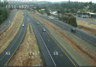
Shingle Springs lies along the western foothills of California’s Sierra Nevada, where oak-studded slopes and open grassland form the transition between the Sacramento Valley and higher mountain country. The settlement took shape during the Gold Rush era, and its name recalls the hand-split wooden shingles once produced from local timber. It was also a stop on the Pony Express route, connecting the community to the brief but influential 1860–61 mail service across the American West. Today U.S. Route 50 runs through Shingle Springs between Sacramento, Placerville and Lake Tahoe, while the Shingle Springs Band of Miwok Indians operates Red Hawk Casino nearby. See how Shingle Springs fits within El Dorado County by browsing webcams nearby. Generated by AI
1 webcam


Featured webcams
Popular webcams
Recently added webcams
Explore other webcams in Shingle Springs