Doliana
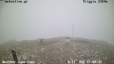
The landscape around Doliana is mountainous, with forested slopes and high pastures of the Pindus range, which has shaped both the compact settlement pattern and a local economy traditionally linked to grazing. The village lies in the Aspropotamos area, named for the upper course of the Acheloos River, one of Greece’s major waterways. Doliana forms part of a scattered network of mountain communities in the Trikala regional area, where stone-built houses and Orthodox churches reflect the building traditions of the interior. Browse additional webcams from the Aspropotamos area to extend your view of the Pindus mountains. Generated by AI
1 webcam


Featured webcams
Popular webcams
Recently added webcams
Explore other webcams in Doliana