Arthog
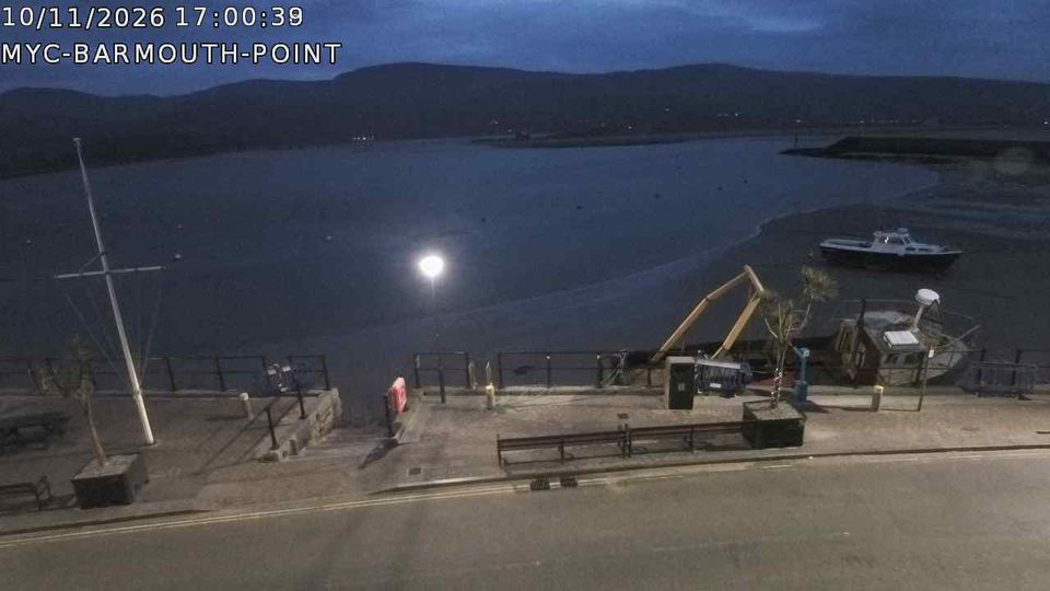
The tidal Mawddach Estuary defines the setting of Arthog — its wide waters and wooded slopes place the settlement between the coast and the mountains of Eryri National Park. The village lies in Meirionnydd, a historic part of north-west Wales where Welsh place names and language remain central to local identity. Inland lanes lead towards the Cregennan Lakes, while the estuary runs west towards Barmouth and Cardigan Bay. At its seaward end, Barmouth Bridge carries the Cambrian Coast railway and a foot-and-cycle route across the water; opened in 1867, it is a major local engineering landmark. Arthog Hall, a late-16th-century country house, adds another trace of the area’s past. Browse other webcams across Wales to place this setting in a wider geographic context. Generated by AI
1 webcam

Featured webcams
Popular webcams
Recently added webcams
Explore other webcams in Arthog