Sainte Agathe
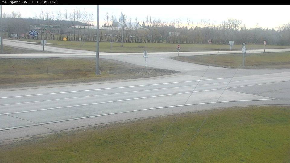
Sainte Agathe lies along the Red River in southern Manitoba, where a wide, level floodplain is shaped by farmland, drainage channels and shelterbelts. Part of the Rural Municipality of Ritchot, it belongs to the francophone belt of communities south of Winnipeg, and its name recalls the Catholic parish around which the settlement developed. The river has brought both fertile land and flood risk: Sainte Agathe was severely affected during Manitoba’s major Red River flood of 1997. Highway 75 links the community with Winnipeg and the Canada–United States border route, while the surrounding valley retains a distinctly agricultural character. Discover nearby webcam locations for complementary perspectives on Sainte Agathe and the Red River Valley. Generated by AI

Featured webcams
Popular webcams
Recently added webcams
Explore other webcams in Sainte Agathe